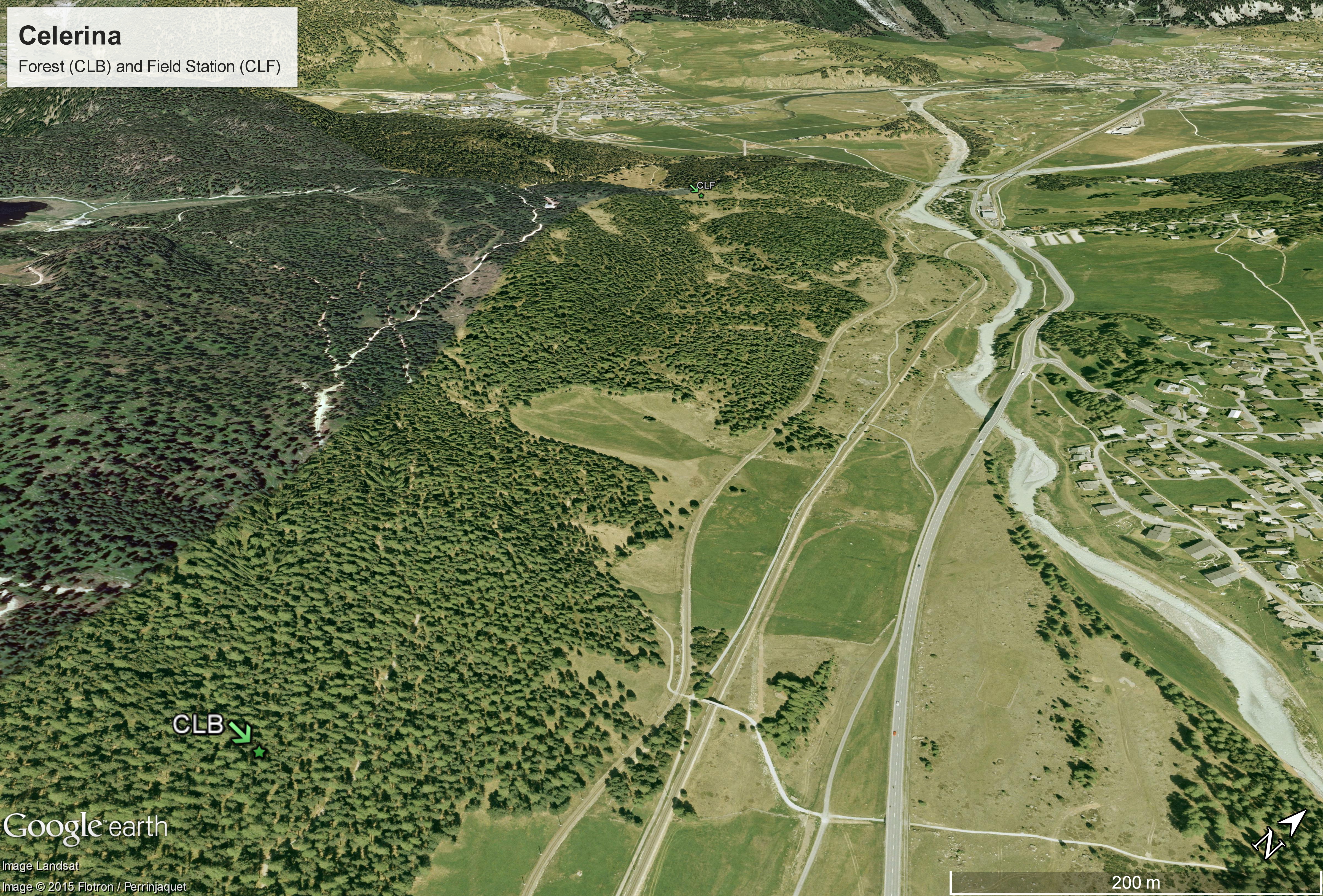
Site aerial photo (Celerina)
Site aerial photo from both Celerina stations. Source: Google. 2016. Site aerial photo from both Celerina stations. Retrieved November 11, 2016, from https://www.google.ch/maps
Additional Information
| Field | Value |
|---|---|
| Data last updated | November 9, 2016 |
| Metadata last updated | December 17, 2023 |
| Created | unknown |
| Format | JPEG |
| License | Open Data Commons Open Database License (ODbL) |
| Created | 8 years ago |
| Media type | image/jpeg |
| Size | 9,781,364 |
| Has views | True |
| Id | 44d469c0-a4b8-4fc3-9708-2fa8d24c3d0f |
| Package id | eb7f96b4-7d02-4bf1-87c4-68fc8ced4453 |
| State | active |
